
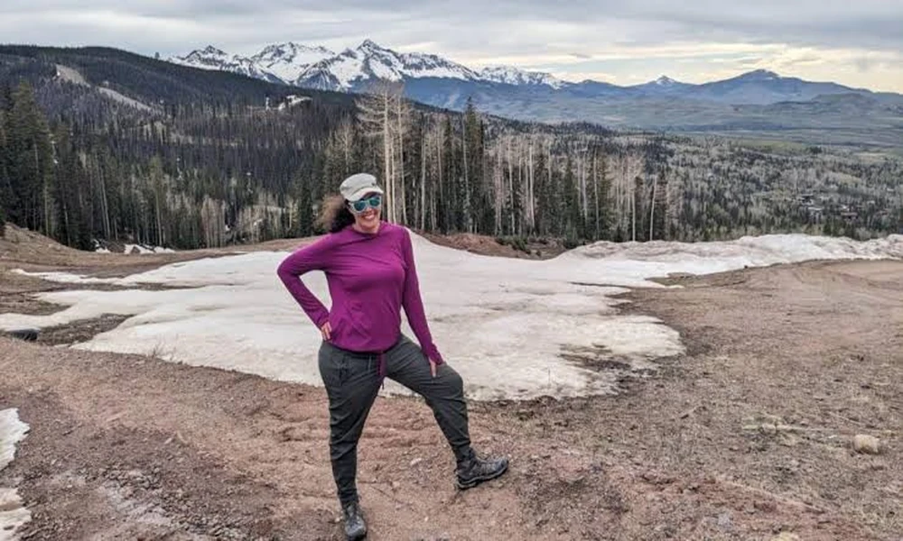
Most people drive through Cortez without stopping. That’s a mistake. Sitting at 6,200 feet in the southwest corner of Colorado, Cortez puts you within two hours of Mesa Verde National Park, the Four Corners Monument, Canyons of the Ancients, and the San Juan Skyway – one of the most dramatic scenic loops in the American West. Stop here first and you have a basecamp that almost no other city in the country can match for raw driving variety.
This guide lays out a practical plan for using Cortez as your launch point, covering the best route order, what your vehicle actually needs to handle this terrain, and the local stops most travel sites skip entirely.
Why the Personal Vehicle Is Still King Out Here
Flying into a nearby hub and renting something makes sense for a city trip. For southwest Colorado, it almost never pencils out. The region’s attractions are spread across hundreds of miles of two-lane mountain roads, mesa-top plateaus, and canyon rim drives where rideshares simply don’t exist and tour buses can’t access the trailheads you actually want.
The numbers back this up. According to the Bureau of Transportation Statistics, 87 percent of all daily trips in the U.S. take place in personal vehicles – and that share climbs even higher once you factor in recreational travel to public lands and rural destinations like the ones ringing Cortez. Your own vehicle gives you the freedom to pull over at a canyon overlook at 7 a.m. or stay an extra hour at a cliff dwelling without worrying about shuttle schedules.
That said, not every vehicle belongs on these roads. The San Juan Skyway alone climbs above 10,900 feet at Coal Bank Pass. You want something with reliable torque, adequate cargo space for camping gear, and enough ground clearance to handle the occasional unpaved spur. If your current ride is showing its age before a trip like this, it’s worth browsing options early. Locals who want to Shop New Ford Models in Cortez, CO, before a big trip tend to favor the F-150 and the Explorer for this exact terrain – capable enough for mountain passes, comfortable enough for long highway stretches.
The STOP Framework: A Four-Day Basecamp Strategy
Most road trip itineraries throw a list of destinations at you without telling you what order makes sense. The STOP framework – Site, Terrain, Operation, Pace – is a simple sequencing tool built specifically for multi-day drives out of a single basecamp.
- Site: Choose each day’s anchor attraction first. Everything else fills in around it.
- Terrain: Group stops by elevation and road type so you’re not descending a 4WD road after a full day at altitude.
- Operation: Account for fuel, food, and cell signal gaps before you leave the hotel – not after.
- Pace: Build one short day into every four-day trip. Fatigue on mountain roads is a real variable, not a soft excuse.
Applied to Cortez, a STOP-sequenced four-day trip looks like this:
| Day | Anchor Site | Approx. Drive From Cortez | Terrain Type |
|---|---|---|---|
| Day 1 | Mesa Verde National Park | 9 miles east on US-160 | Paved, steep switchbacks |
| Day 2 | Four Corners Monument | 40 miles south on US-160 | Flat, open highway |
| Day 3 | San Juan Skyway (Silverton loop) | 75 miles northeast via US-550 | High alpine, winding passes |
| Day 4 | Canyons of the Ancients | 15 miles west on CO-184 | Mixed paved and gravel |
Day 4 being the lightest day is intentional. By that point your legs are tired, your camera roll is full, and a lower-stakes morning at Canyons of the Ancients – one of the densest concentrations of archaeological sites in North America – is exactly the right way to wind down before the drive home.
What Colorado’s Scenic Byways Actually Mean for Your Route
Colorado takes its scenic roads more seriously than almost any other state. According to the Colorado Department of Transportation, visitor spending on the state’s scenic byways generated an estimated $4.8 billion and supported nearly 4,000 jobs over a five-year study period. That level of economic activity exists because the roads genuinely deliver – these aren’t just designated stretches of highway with a sign, they’re curated driving routes with pull-offs, interpretive panels, and access to trailheads that would otherwise take serious route research to find.
The San Juan Skyway is the one that earns the most conversation, and rightfully so. The 236-mile loop out of Cortez passes through Dolores, Telluride, Ouray, Silverton, and Durango before circling back. You can do it as a single long day or split it across two, spending a night in Ouray or Telluride. If you split it, book ahead. Both towns are small and fill up fast from late June through early September.
The Trail of the Ancients Scenic Byway gets less attention but belongs on the same trip. It runs directly through Cortez and connects the Four Corners area with Hovenweep National Monument, a site most out-of-state visitors have never heard of despite its remarkably well-preserved prehistoric towers. The road is easy, the monument is rarely crowded, and the afternoon light on the sandstone is worth the detour.
Practical Logistics Most Guides Skip
Gas stations thin out fast once you leave Cortez heading north toward Silverton. Fill your tank in town before the Skyway, and check your tire pressure the morning of. The stretch between Silverton and Ouray – known as the Million Dollar Highway – has no guardrails on significant sections and rewards a calm, patient driver.
Cell coverage follows the same logic. Download your maps offline before you leave. Verizon and AT&T both drop to zero bars in several canyon sections and most of the Four Corners plateau. This isn’t a complaint about carriers – it’s just the physical reality of sandstone walls and distance from towers. Your paper backup is a downloaded GPX file or, honestly, a good old screenshot of the route.
Weather moves faster here than anywhere most flatlanders have driven before. A clear morning in Cortez can become an afternoon thunderstorm above 11,000 feet with almost no warning. The window of lowest risk on the high passes is roughly 6 a.m. to noon. Start mountain days early and you’ll almost never get caught in it.
“The tourism generated by Colorado’s byways is often the key supporting financial source to many of our historic-designated sites, as well as to the local businesses along the byways.” – Colorado Byways Program Manager Lenore Bates, Colorado Department of Transportation
That quote matters for practical reasons beyond the economic angle. It means the towns along these routes depend on visitors who actually stop, eat, and spend time rather than just pass through. Dolores, Rico, and Mancos are all easy stops on your way to bigger destinations, and all three have small local restaurants worth the 20-minute break.
Before You Leave: A Pre-Trip Checklist
- Verify your spare tire is inflated and your jack is accessible, not buried under gear.
- Download offline maps for Montezuma and San Juan counties.
- Book Mesa Verde cliff dwelling tours in advance – walk-up slots are extremely limited.
- Check road conditions on the CDOT real-time map the morning of any high-pass day.
- Carry at least two liters of water per person per day. Altitude dehydration at 10,000 feet is faster than most people expect.
Southwest Colorado doesn’t reward the people who rush it. The roads are too good, the light on the canyon walls too specific to certain hours of the day, and the archaeological density too layered to absorb from a moving vehicle. Give yourself four real days, start in Cortez, and let the STOP framework take the guesswork out of the order. Your biggest job after that is just driving and looking out the window.

Comments are closed.